ARGUS—C4ISR Software | Powered by Qt


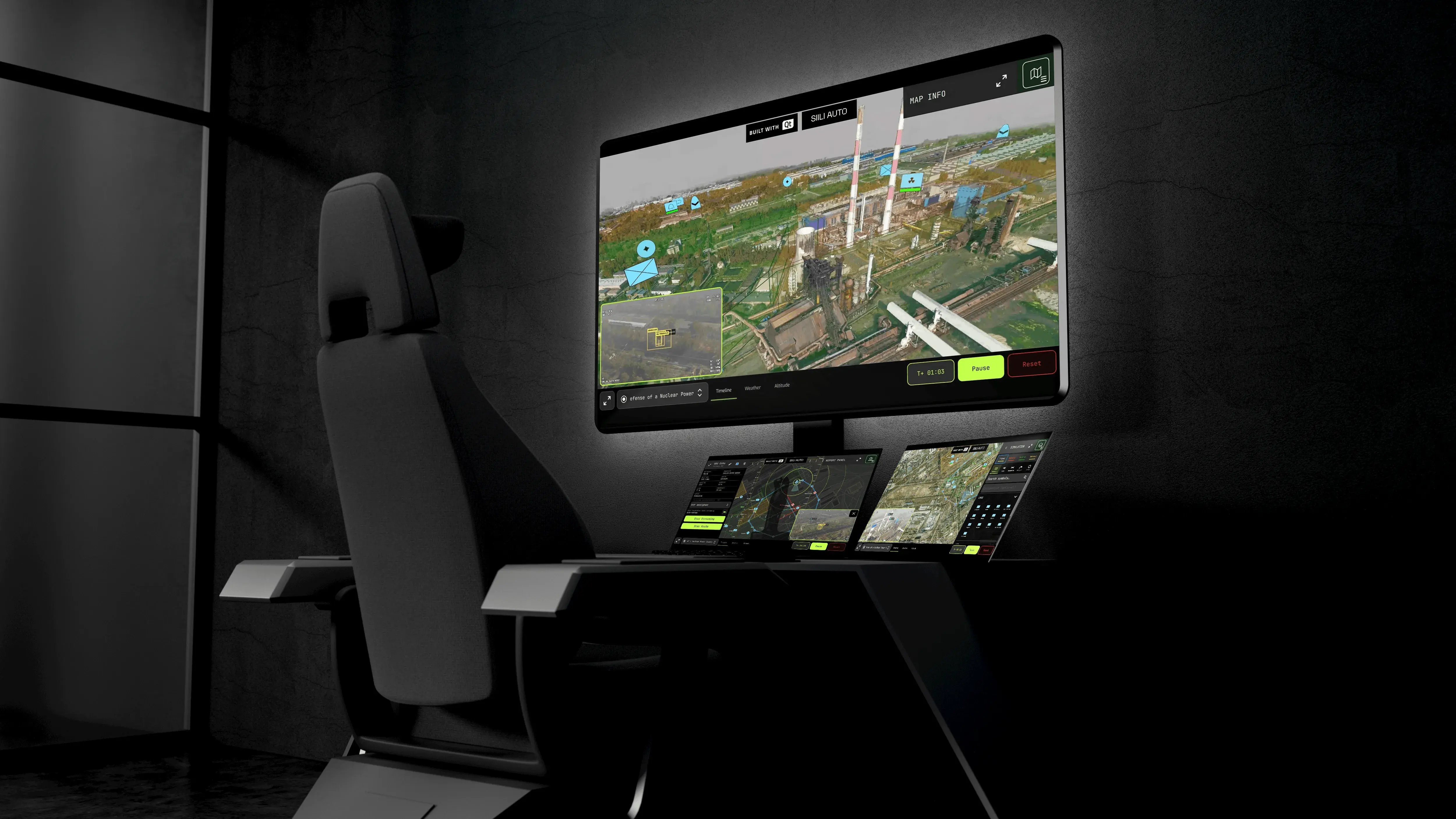
Built in partnership with Siili Auto, ARGUS is a working prototype of a C4ISR software stack designed for modern, multi-domain mission planning.

Book a Demo


Join Our Webinar: XXX

Multi-Platform C4ISR Made Easy

ARGUS showcases a unified Command, Control, Communications, Computers, Intelligence, Surveillance, and Reconnaissance (C4ISR) stack that maintains a live Common Operating Picture (COP) across command center, ruggedized tablets, augmented-reality field views, and low-power embedded devices, holding that picture together even through loss of communications.

Development within Months, Not Years

By providing seamless multi-device coordination, encrypted live drone intelligence, AI-ready mission planning, and multi-layered 2D and 3D mapping into a single codebase, ARGUS demonstrates how Qt can compress multi-year development programs into months, rapidly delivering capabilities to the warfighter without sacrificing operational reliability or security.

Train-as-You-Fight Fidelity

One Qt codebase runs across the trainer, the simulator, the engineering rig, and the fielded system, so operators train on the interface they will command. The same application logic scales from a high-fidelity desktop simulator to an embedded edge station, keeping the software hardware independent and shielding the program from vendor dependency, chip shortages, and obsolescence.

Argus Desktop

One Codebase Across Every Platform

While traditional C4ISR programs maintain separate codebases per device, multiplying RnD cost and integration risk, ARGUS runs the same QML application logic across all devices—synchronized in real time via Qt MQTT with less than 50ms latency on a local network.

While maintaining a consistent experience across devices, Qt's cross-platform capabilities reduce duplicate work, hardware dependency, and risk of chip shortage.
3D Argus View

Real-Time, Multi-Domain Common Operating Picture

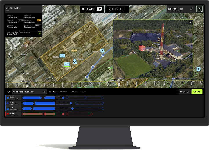
While competing technologies traditionally struggle to build data-dense, real-time visualization, Qt merges into a single coherent COP a variety of data sources:

  • 2D tactical overlays (ArcGIS Maps SDK for Qt),

  • 3D terrain rendering with satellite imagery,

  • drone live video feeds,

  • real-time entity tracking.

Map symbols conform to the NATO APP-6 and MIL-STD-2525 standards.
ARGUS Report Panel

Secure by Design, with Encrypted Connectivity 

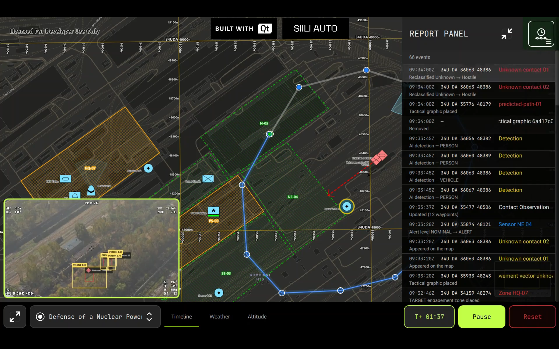
With command and telemetry data flowing over encrypted Qt MQTT (local Mosquitto server), and live drone ISR feeds transmitted over encrypted RTSP via Qt Multimedia, every data channel in ARGUS is secured.

The architecture is designed for offline-first resilience with 3D terrain data cached locally via ArcGIS, ensuring the COP remains operational even without network connectivity.
ARGUS Timeline

AI-Ready Mission Planning

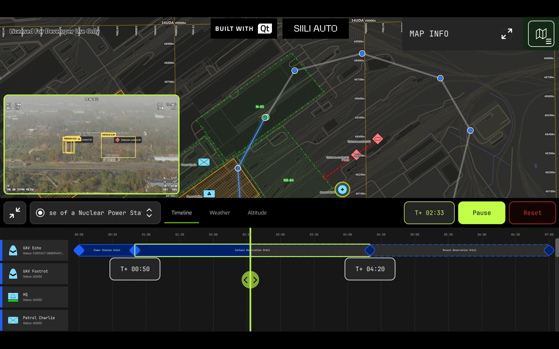
Leveraging AI for threat analysis and asset deployment on the COP, ARGUS auto-generates optimized mission plans including drone routes, team deployment, transport corridors, and avoidance zones. The AI planning layer can be customized with proprietary AI models and Edge AI tooling. Qt Edge AI is a production-ready integration point that secures efficient development across AI models and pipelines.

More Resources

Qt in Aerospace and Defense

Accelerate speed of delivery, continuous adaptation, and modular tech upgrades with Qt Group's technologies for A&D.

Read More

Ground Control Software for Drones and Uncrewed Vehicles

Advanced HMI capabilities for drone ground control, mission planning, and operator interface.

Read More

Supported Hardware and Operating Systems

Check all Qt-supported platforms and readily available BSP.

Read More

Explore Qt Demos

From immersive 3D experiences to concrete industrial applications, our demos showcase the art of possible with Qt Group's technologies.

Explore Now

Experience the Potential of Qt for Aerospace and Defense Firsthand

Request a Demo