
Qt as the Foundation of Drone Control Systems
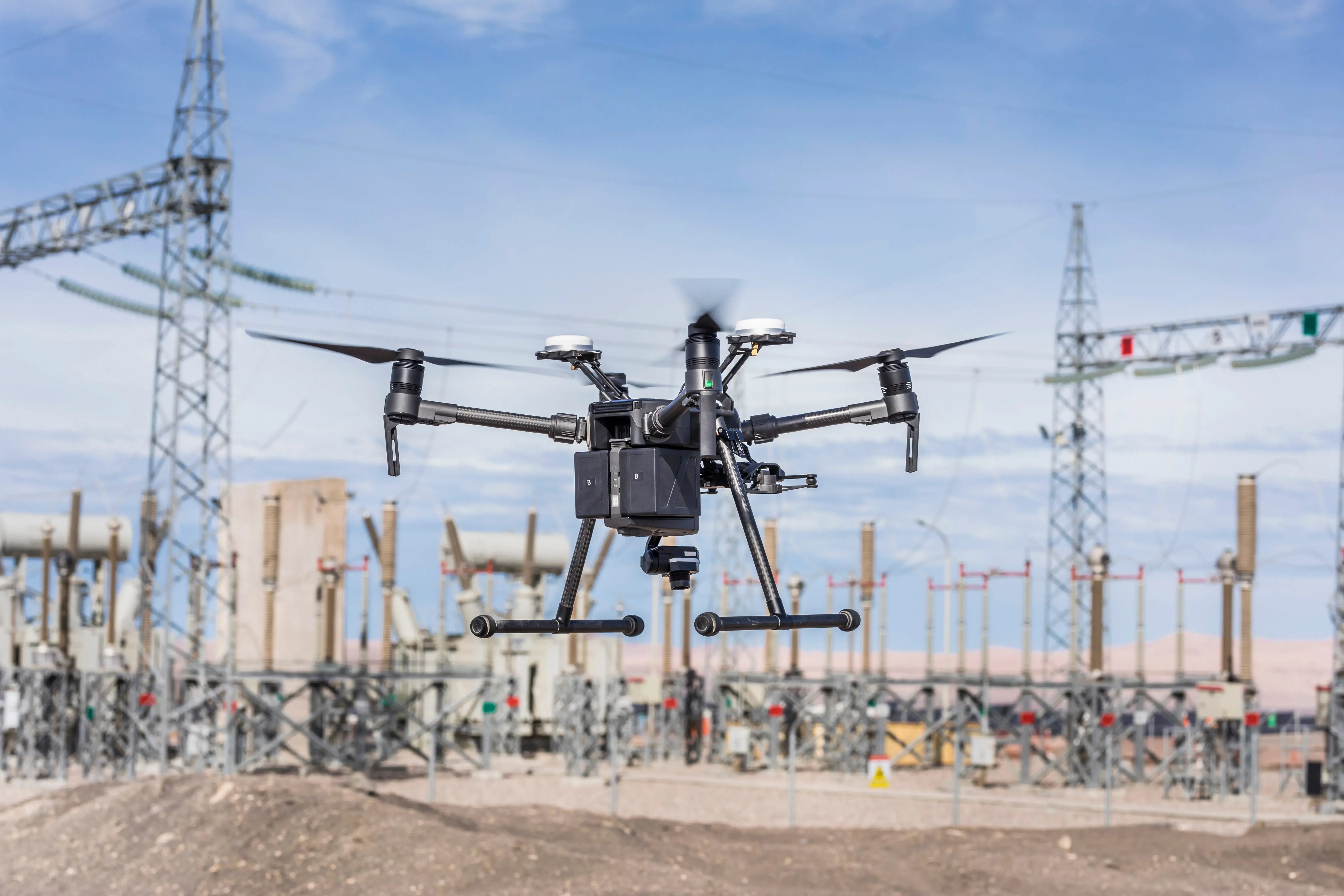
Qt plays a foundational role in the development of the human-facing software that designs, commands, and monitors drone missions across industries and applications. Its cross-platform capabilities enable the efficient development of consistent user experiences across desktop, embedded, mobile, and web, for a variety of applications, including:
-
Design and planning tools: simulation, constraint checking, and safe-to-fly verification.
-
Ground control stations: mission planning, live telemetry, and video streaming.
-
In-vehicle and companion HMIs: cockpit, cabin, and payload interfaces.
-
Operator devices and control centers: handheld controllers and fleet command.
Qt is also foundational in the QGroundControl (QGC) platform, one of the most widely used ground control stations for drone operations.
In aviation, anything we develop must be certified. Those processes are slow and expensive by design. With Qt, we can really move quickly in bringing new features to the systems.
Florian Schwaiger, Mission Control Lead, Avilus
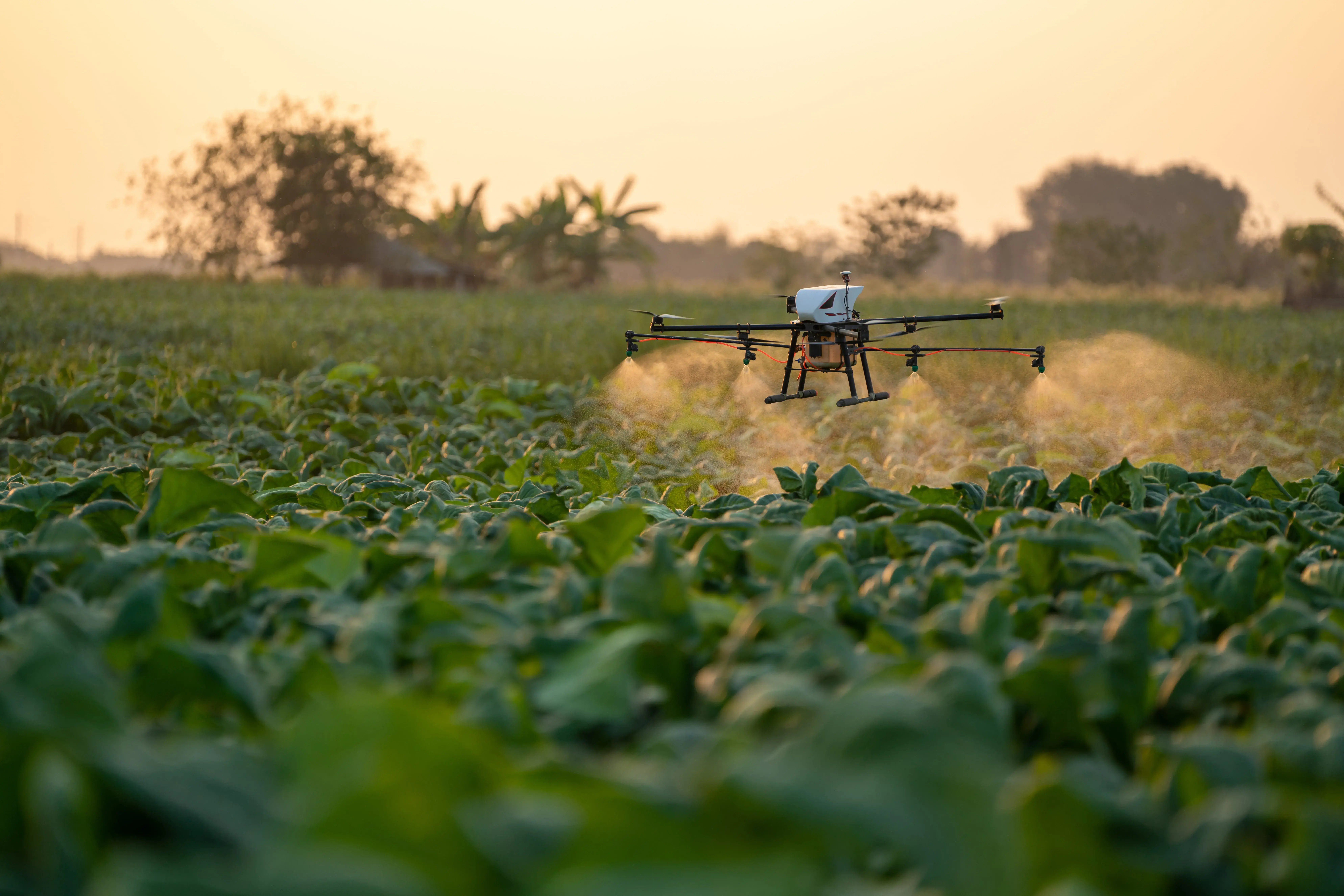
Why Choose Qt for Drone Development
Across consumer, commercial, and defense programs, drone manufacturers and operators adopt Qt for a consistent set of reasons:
-
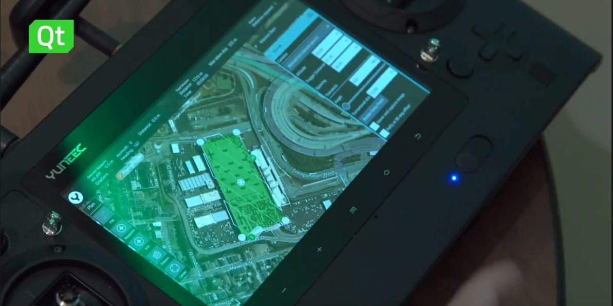
One codebase across every platform — to maintain software that works consistently across platforms, avoid duplicate work, and reducing dependency on hardware suppliers. Watch Yuneec case.
-
Real-time performance at scale — to render massive drone swarm and telemetry data efficiently, also leveraging advanced 2D and 3D graphics, or handle live video streams for precision landing without latency. Read Avilus case.
-
Layered architecture from high-level QML to low-level graphics — to quickly prototype and optimize against the rendering pipeline where performance is critical.
-
3D visualization and mapping — to represent airspace, terrain, mission paths, and vehicle position in three dimensions. Read about Qt 3D offering.
-
Concise, traceable code — to map implementation decisions to system requirements and streamline certification in regulated airspace.
-
Rapid iteration — to prototype, build, and validate features faster through live preview and short rebuild cycles. Watch NXP interview.
-
Built-in connectivity — to manage MAVLink links, serial and network communication, telemetry, and encrypted ground-to-air data. Read about Qt Networking & Connectivity.
Which Qt modules do you need to build a drone ground control station?
Qt Framework brings a broad set of capabilities to drone development, letting teams build on proven components, rather than from scratch, and reach deployment faster. The libraries most relevant to drone use cases include:
-
Qt Quick and QML — modern, touch-friendly HMIs for desktop, mobile, and embedded devices.
-
Qt Quick 3D — 3D views for first-person-view (FPV) control, with VR integration.
-
Qt Graphs — telemetry and data visualization.
-
Qt Location — mapping through popular location-service providers.
-
Qt Multimedia — streaming video from onboard sensors.
-
Qt GRPC and Qt MQTT — back-end communication between system components.
Where specific requirements apply, Qt extends further, for instance, with GIS integration through the Esri ArcGIS Maps SDK for Qt, and a design-to-development workflow leveraging Figma and Qt Design Studio.
I'm running a drone program, I'm a start-up within NXP, and I don't think it would have happened without the help of the Qt Company.
I have no hesitation in recommending Qt Professional Services to anyone in terms of getting to market fast, on time, and hitting deadlines.
Ian Galloway, NXP Drone Program Lead
.webp)
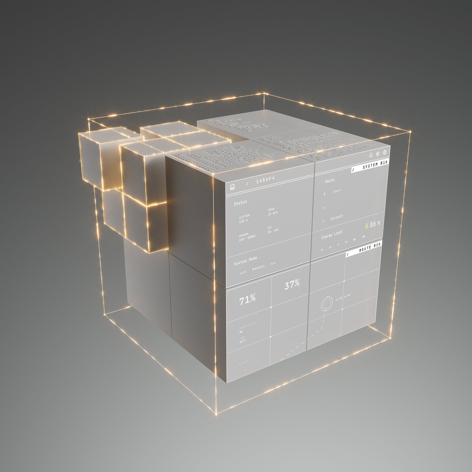
The Added Value of Commercial Qt
Many drone programs run for years, under strict certification, security, and supply-chain constraints. Commercial Qt licensing is built for that:
- Long lifecycles — Long-Term Support (LTS) releases, security patches, and broad hardware and Real-Time Operating System (RTOS) support.
- Sovereignty and independence — full source access, no vendor lock-in, and no cloud dependency, giving customers full control over their product lifecycle.
- Security and compliance — Software Bill of Materials, offline installers for air-gapped networks, and Cyber Resilience Act readiness.
- Expert help — Qt Professional Services for the fastest time to market, advanced use cases, and customization.
-
Standards and interoperability — FACE® conformance for the Modular Open Systems Approach (MOSA).
-
Room to expand — full C4ISR applications and robotics integration through the Qt Robotics Framework.
Customer Stories
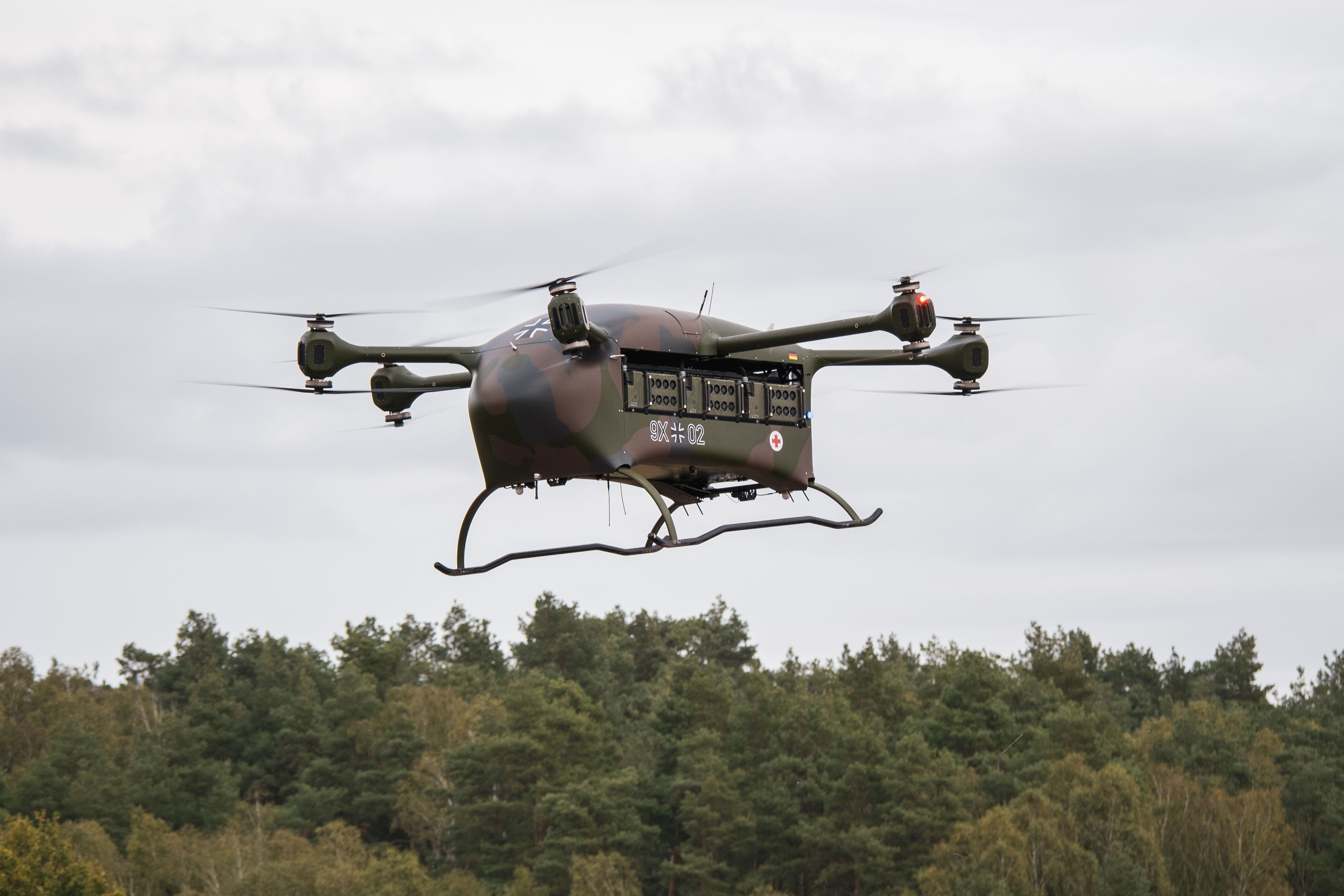
90% Reduction in UI Code
50% Faster Prototyping Cycles
1 Codebase for Windows and Linux
10x Savings on cross-platform maintenance
.webp)
NXP's drone program accelerated development using Qt, enabling quick updates, new tech integration, and timely market entry, crucial to its success.

The global market leader in geographic information system (GIS) software, location intelligence, and mapping use Qt.